Mont Blanc 3D map & STL
Mont Blanc and its glaciers sit on the French–Italian border. The model covers the summit massif and the adjoining valleys, with the elevation range taken directly from the DEM tiles the browser app uses.
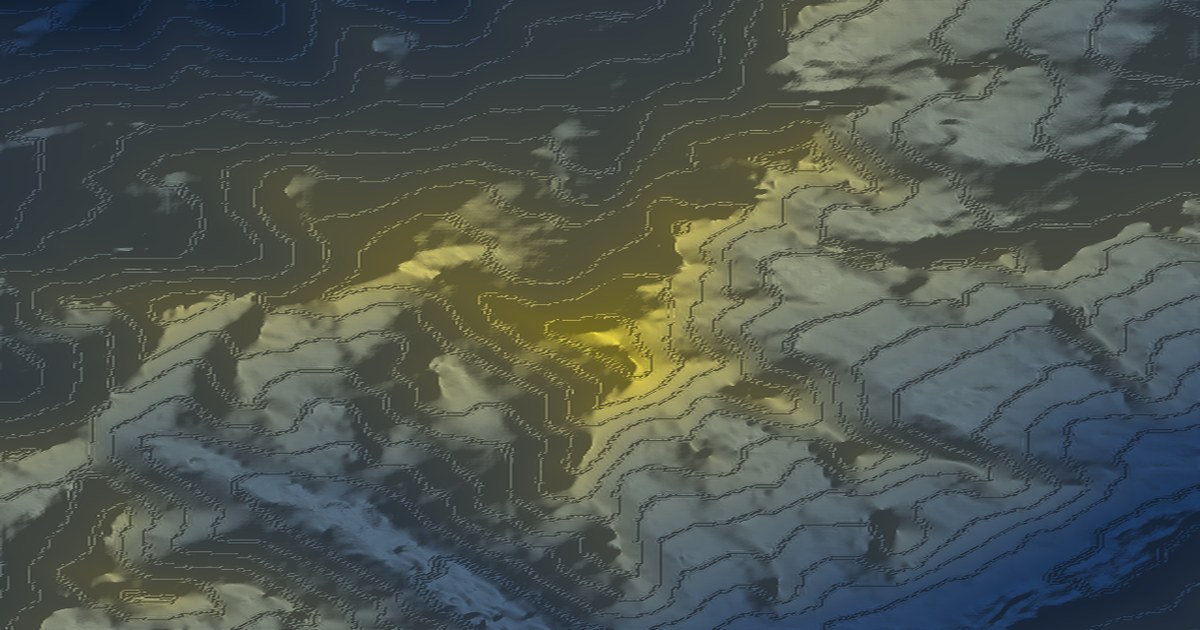
Make this model yourself — free, no account. Pick the area in the app, then export a printable STL/OBJ/GLB/3MF, a 16-bit heightmap, a GeoTIFF DEM or an A3/A2 poster.
Open at these coordinatesReal terrain statistics
These figures are computed from the open DEM grid for the highlighted area. The model is about 10.1 × 10.0 km across.
| Metric | Value |
|---|---|
| Elevation range | 1,338 – 4,791 m (mean 3,066 m) |
| Area | 10.1 × 10.0 km |
| Centre coordinates | 45.8326, 6.8652 (WGS84) |
| Elevation source | AWS Terrain Tiles — SRTM/NED/national, ~30 m |
| Exports | STL, OBJ, GLB, 3MF (print-optimised, multi-part), heightmap PNG, GeoTIFF, MP4 |
How to make this map
- Open the terrain app — it runs entirely in your browser.
- Use the place search or draw a box around the area, then press Generate map.
- Choose a palette, relief and overlays (contours, labels, buildings, route).
- Export STL/3MF for a print, PNG for a poster, or a 16-bit heightmap/GeoTIFF for GIS and game engines.
Nearby landmark maps
Questions
- Is this a real terrain model?
- Yes. The elevation grid comes from AWS Terrain Tiles (SRTM/NED/national programmes, ~30 m) and is decoded directly by the browser app; this page’s elevation stats are computed from that same open DEM data.
- Can I print it?
- Yes. Open the app, pick this area or search for the landmark, then export STL/OBJ/GLB or a 3MF multi-part print. Print scales range from a 180 mm fit-bed to fixed 1:5,000–1:50,000 ratios.
- Can I use it in a game engine?
- Yes. Export a 16-bit heightmap PNG and a matching surface texture, or a GeoTIFF DEM (WGS84 or UTM) if you need georeferenced data.