Angels Landing 3D map & STL
Angels Landing is a narrow sandstone fin above the Virgin River. A terrain model makes the exposure obvious: the river cut, the switchbacks and the surrounding mesa country all come from real elevation samples.
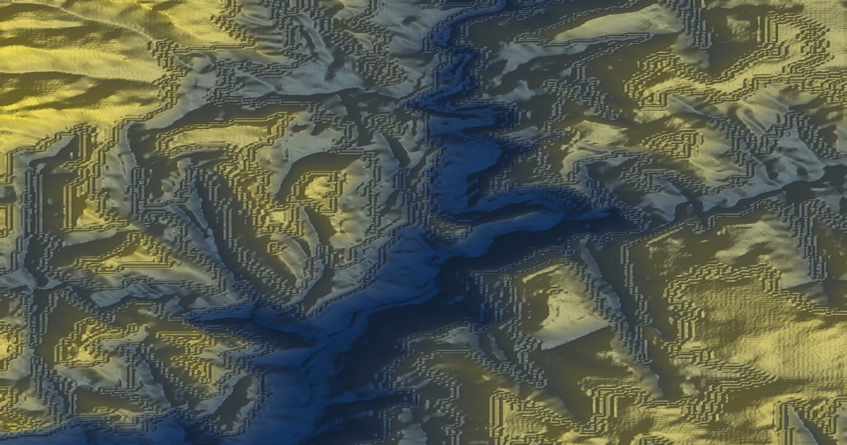
Make this model yourself — free, no account. Pick the area in the app, then export a printable STL/OBJ/GLB/3MF, a 16-bit heightmap, a GeoTIFF DEM or an A3/A2 poster.
Open at these coordinatesReal terrain statistics
These figures are computed from the open DEM grid for the highlighted area. The model is about 5.3 × 6.6 km across.
| Metric | Value |
|---|---|
| Elevation range | 1,297 – 2,255 m (mean 1,818 m) |
| Area | 5.3 × 6.6 km |
| Centre coordinates | 37.2694, -112.9480 (WGS84) |
| Elevation source | AWS Terrain Tiles — SRTM/NED/national, ~30 m |
| Exports | STL, OBJ, GLB, 3MF (print-optimised, multi-part), heightmap PNG, GeoTIFF, MP4 |
How to make this map
- Open the terrain app — it runs entirely in your browser.
- Use the place search or draw a box around the area, then press Generate map.
- Choose a palette, relief and overlays (contours, labels, buildings, route).
- Export STL/3MF for a print, PNG for a poster, or a 16-bit heightmap/GeoTIFF for GIS and game engines.
Nearby landmark maps
Questions
- Is this a real terrain model?
- Yes. The elevation grid comes from AWS Terrain Tiles (SRTM/NED/national programmes, ~30 m) and is decoded directly by the browser app; this page’s elevation stats are computed from that same open DEM data.
- Can I print it?
- Yes. Open the app, pick this area or search for the landmark, then export STL/OBJ/GLB or a 3MF multi-part print. Print scales range from a 180 mm fit-bed to fixed 1:5,000–1:50,000 ratios.
- Can I use it in a game engine?
- Yes. Export a 16-bit heightmap PNG and a matching surface texture, or a GeoTIFF DEM (WGS84 or UTM) if you need georeferenced data.